Building
Location-Aware Apps
with ArcGIS
Overview
- Using ArcGIS Online to configure notifications
- Using the ArcGIS Offline SDK to sync the messages to the device
- Using the native iOS geofencing APIs to deliver notifications
Limitations
- iOS and Android native APIs do not support polygons
- Both platforms limit the number of active regions that can be monitored at a given time
- GPS in the real world is not perfect, so be prepared for weird errors
Limited number of regions
Android's limit is 100 regions, iPhone is 20.
If your data set has more places than the limit,
you'll need to proactively register and un-register regions as the user moves around.
Let's get started
developers.arcgis.com
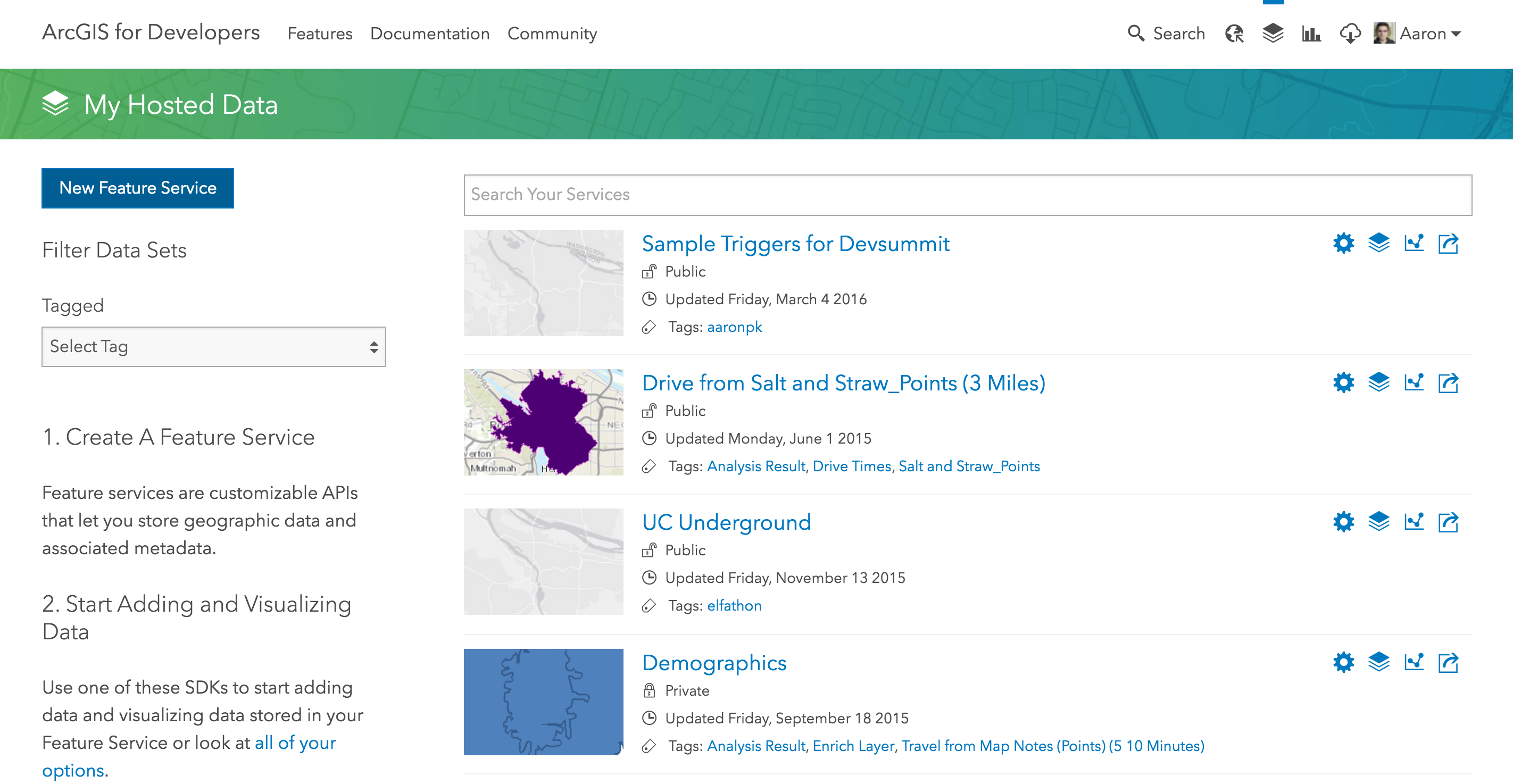
My Hosted Data
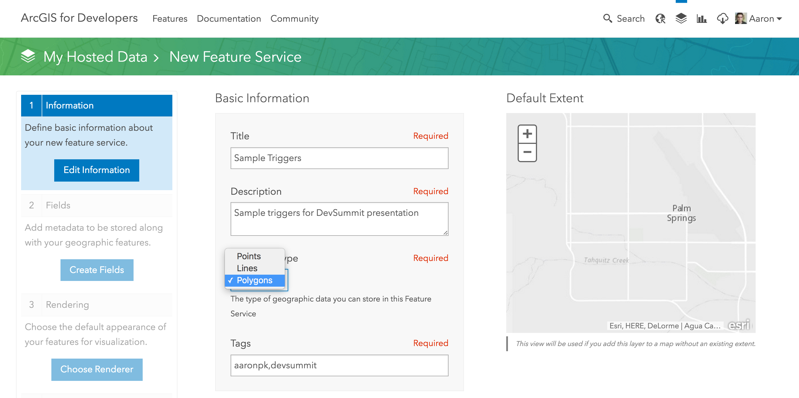
Create New Feature Service
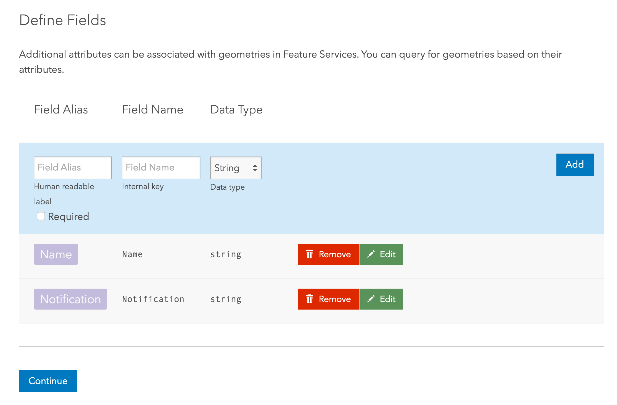
Define Fields
Service is Created
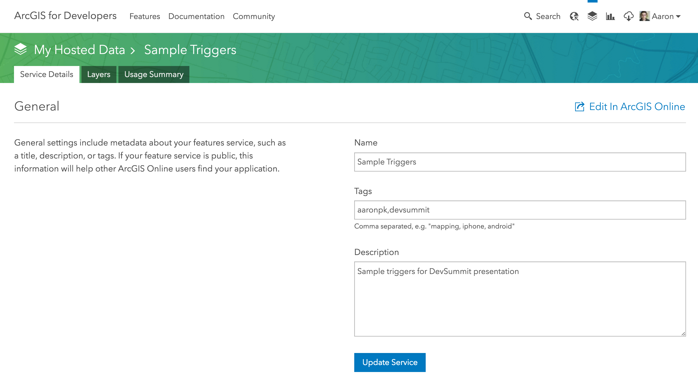
Edit in ArcGIS Online
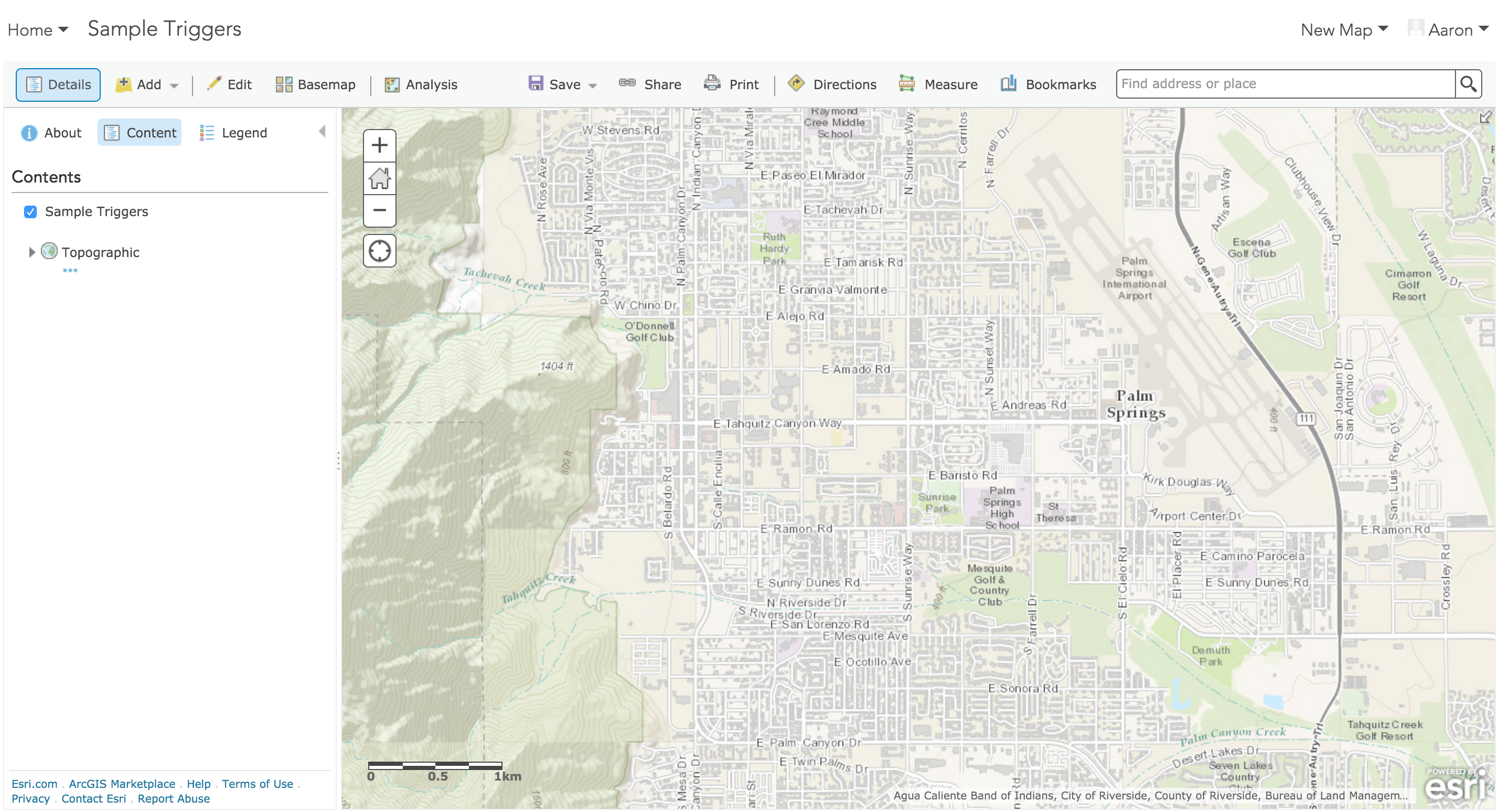
Click "Edit"
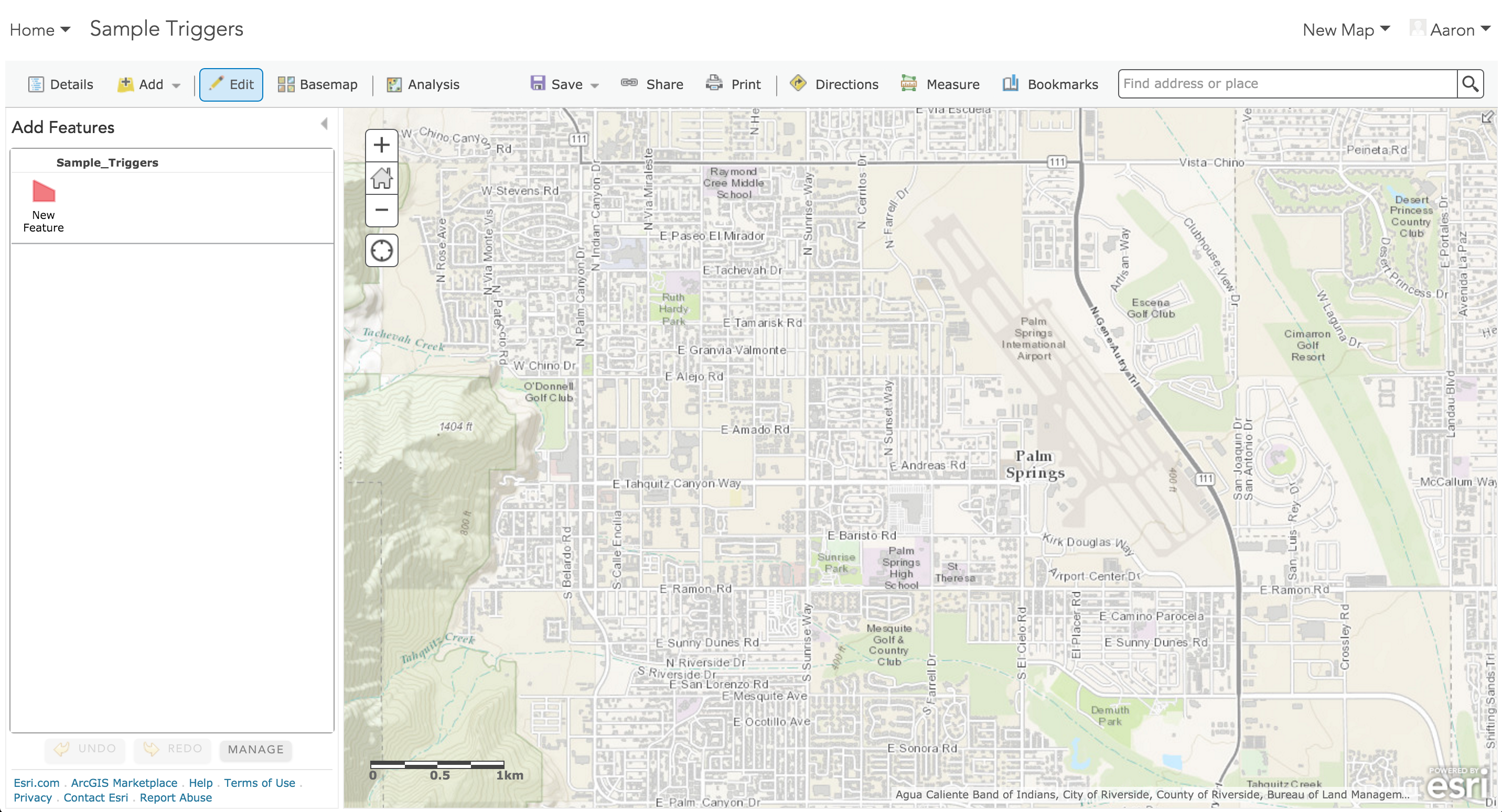
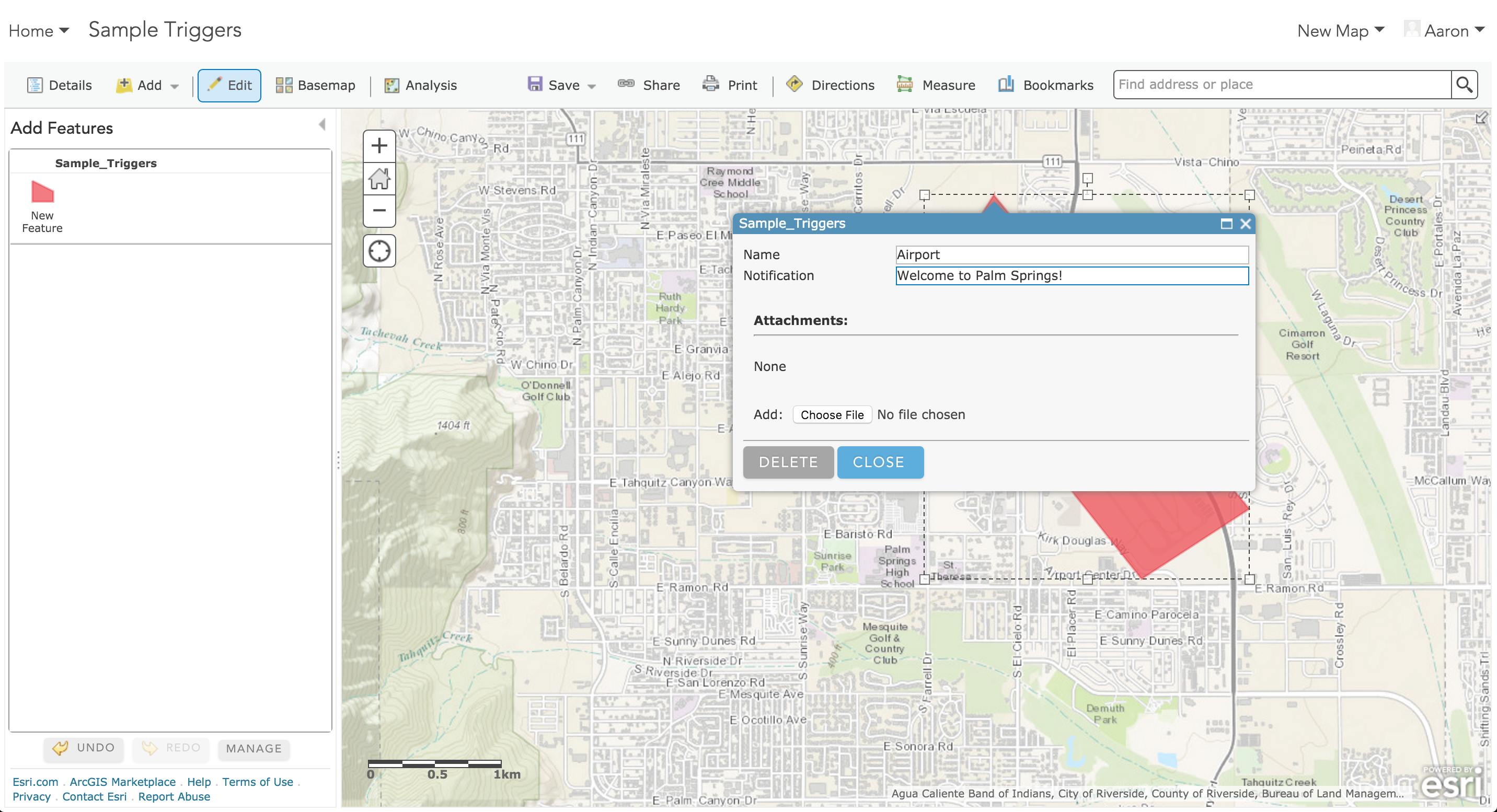
Draw polygons and set notification text
Show Item Details
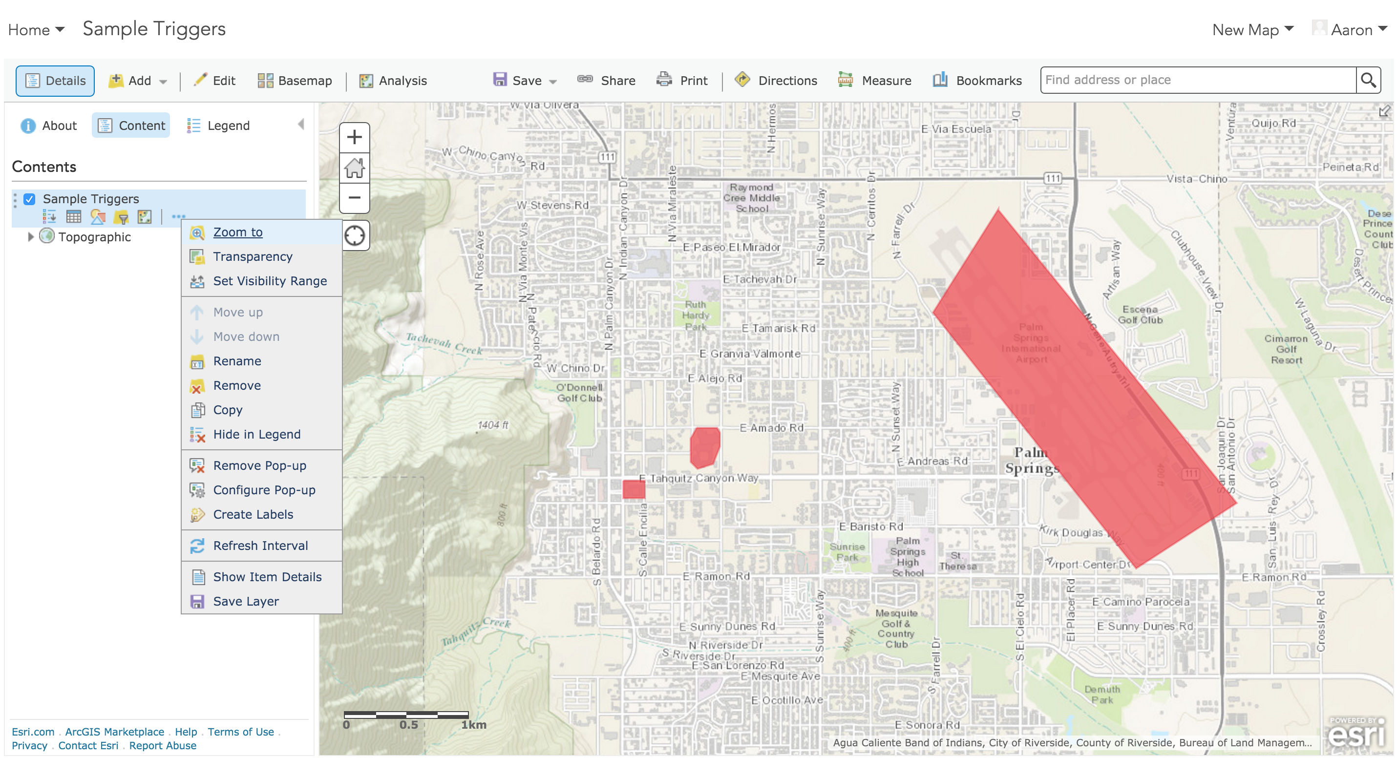
Item Details
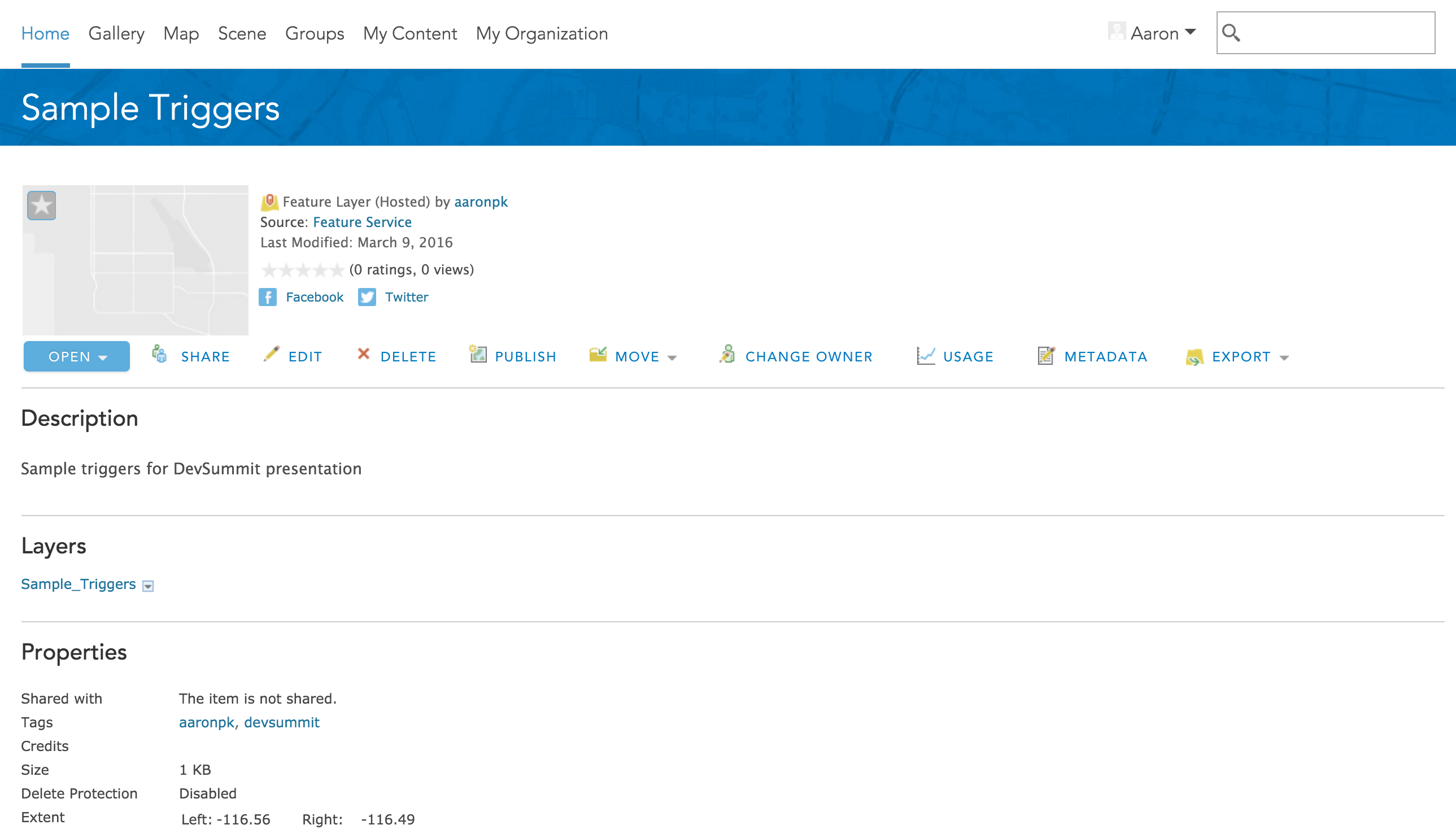
Share item with "public"
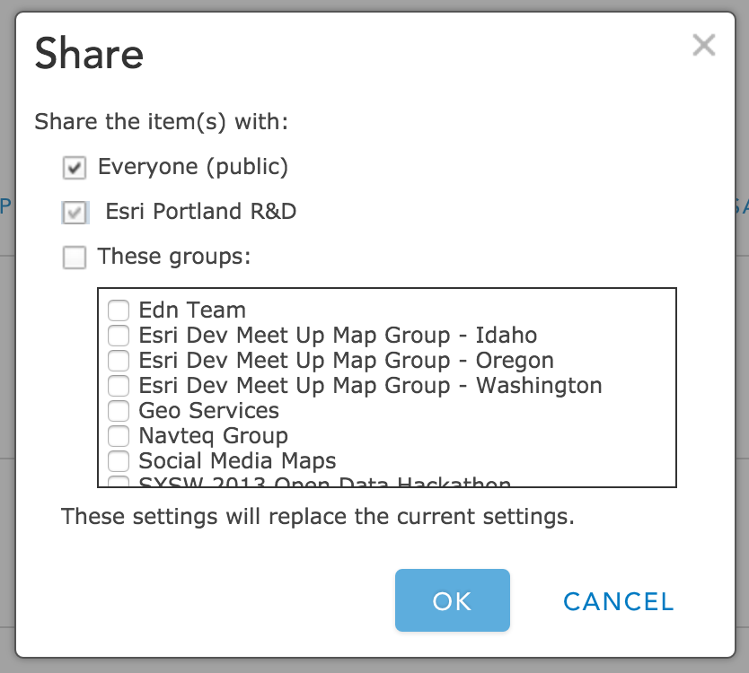
Enable Sync
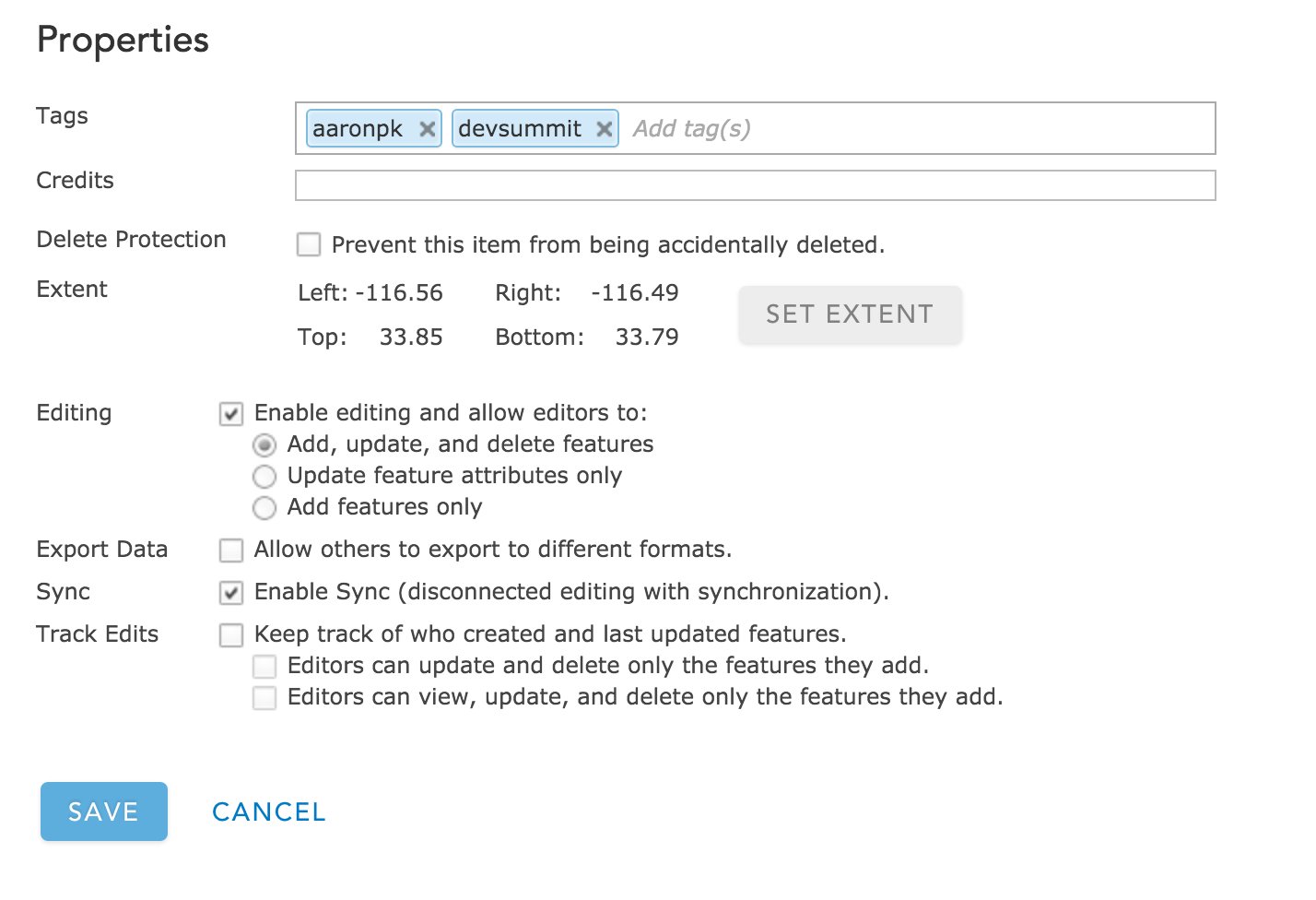
Click the service URL
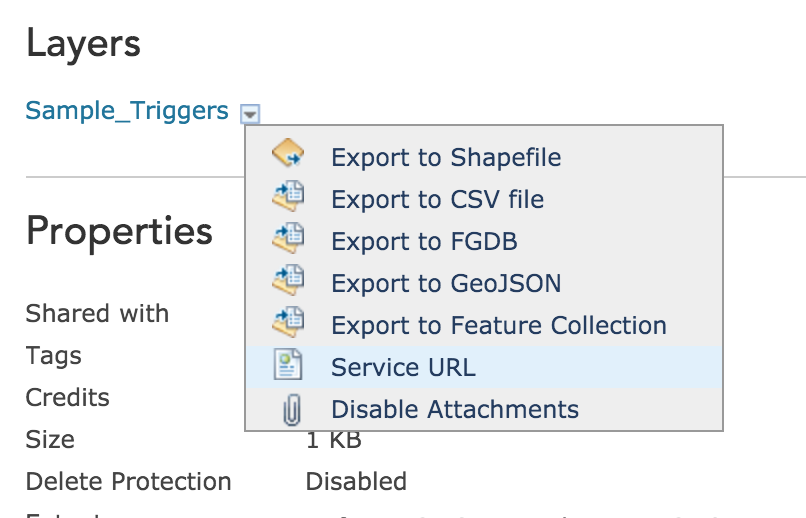
Feature Service
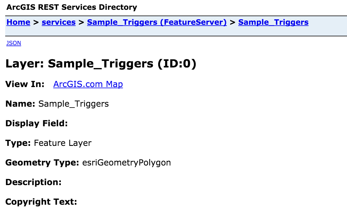
Get Feature Service Link

iOS App
Required Background Modes

Location Usage Description

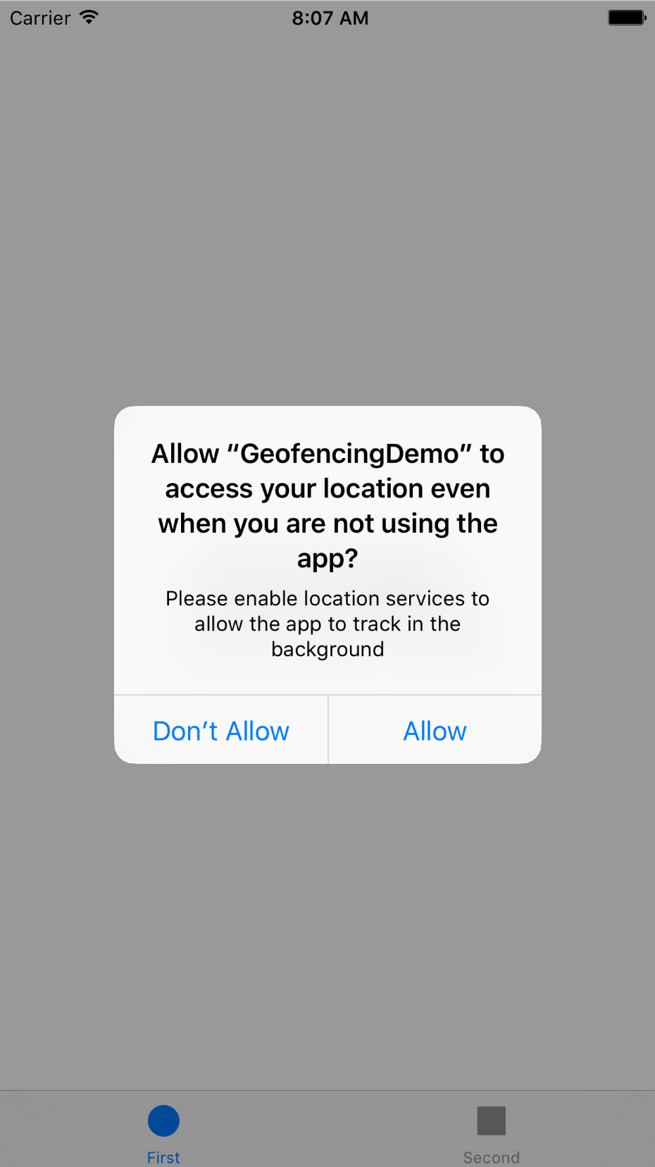
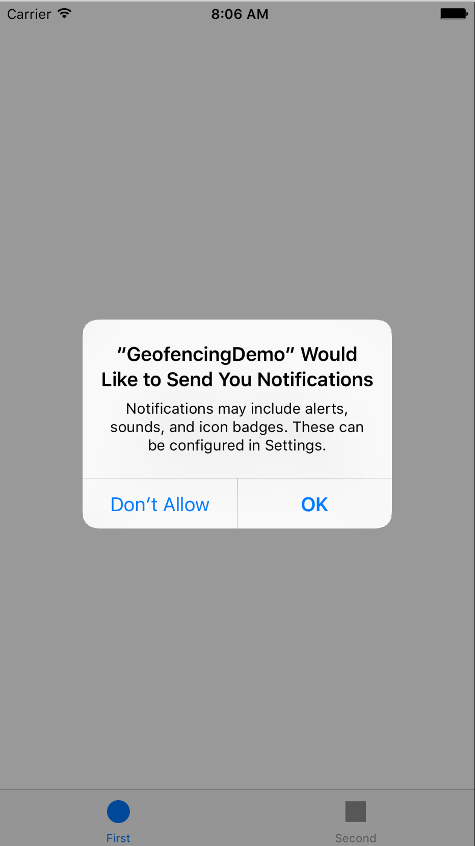
Request Permission

Add Feature Service URL to App

Create GeoDatabase Task

Start Syncing GeoDatabase

Query GeoDatabase for Features

addGeofenceForFeature

Find the center of the polygon

Find the corner of the envelope

Find the distance from center to corner in meters

Create a CLRegion

Start Monitoring the CLRegion


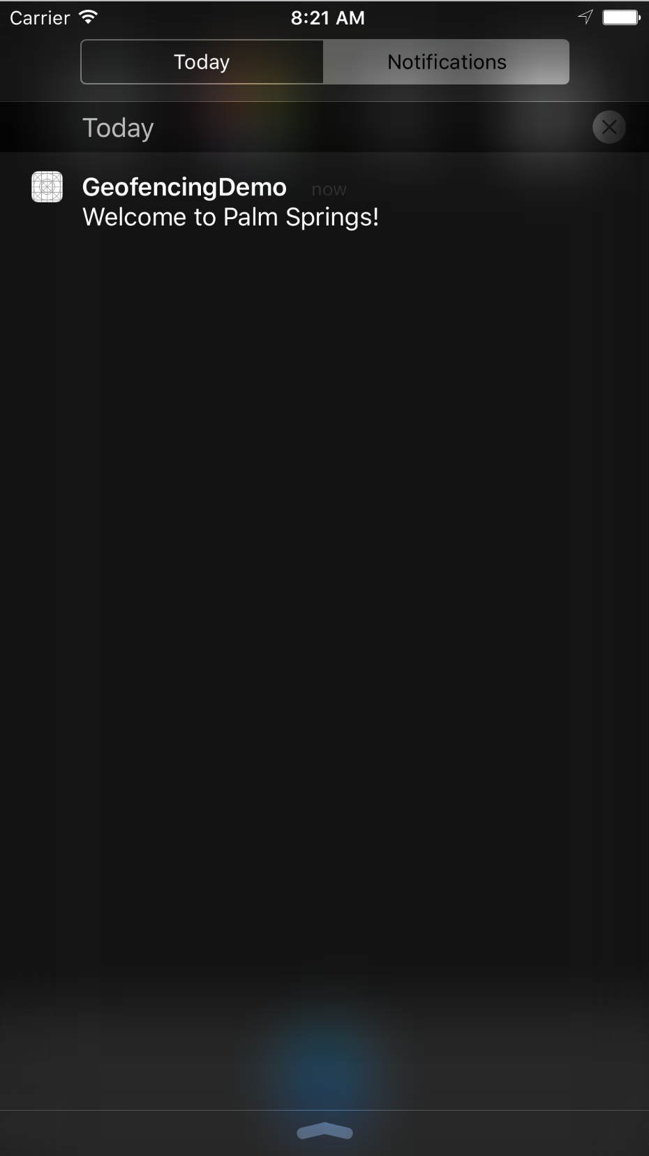
locationManager:didEnterRegion:
called when the phone enters the region

Longer tutorial:
More than 20 regions?
What do you do if you have more than 20 regions you want to monitor?
Register only the nearest 20
- Find the user's location
- Find the nearest 20 notifications
- Register CLRegions for each
Update the nearest 20 when the user moves
- Register for "significant change" location updates
- Find the nearest 20 notifications
- Register CLRegions for each